
By Ma. Cristina Arayata | Philippine News Agency
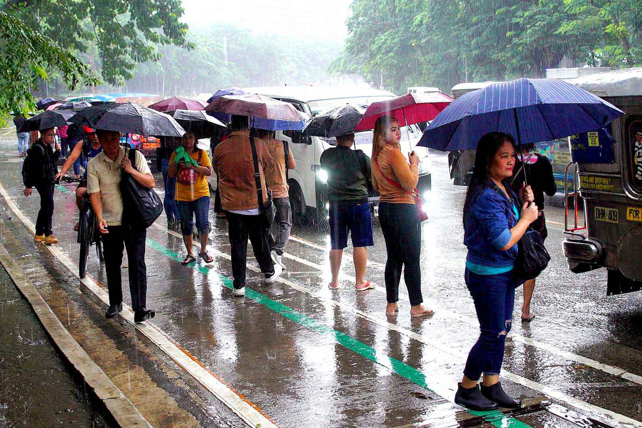
The northeasterly surface wind flow affecting extreme Northern Luzon, and the trough of a low pressure area (LPA) will cause rain showers over parts of the country, the weather bureau said Monday.
“The LPA last tracked 980 kilometers west of Central Luzon is not expected to affect the country because it is moving towards mainland Asia,” Obet Badrina of the Philippine Atmospheric, Geophysical and Astronomical Services Administration (PAGASA) said.
PAGASA, however, predicted the LPA’s trough to bring scattered rain showers and thunderstorms over Palawan.
Moderate to heavy rains may result in flash floods and landslides.
Isolated light rains are forecast over Batanes, Cagayan, Isabela, and Apayao due to the northeasterly surface windflow.
The rest of the country will experience isolated rain showers caused by localized thunderstorms.
Meanwhile, moderate to strong winds and moderate to rough seas will prevail over Northern and Central Luzon. No gale warning was issued.
Elsewhere, winds will be light to moderate with slight to moderate seas, PAGASA said.