
By Christine Fabro
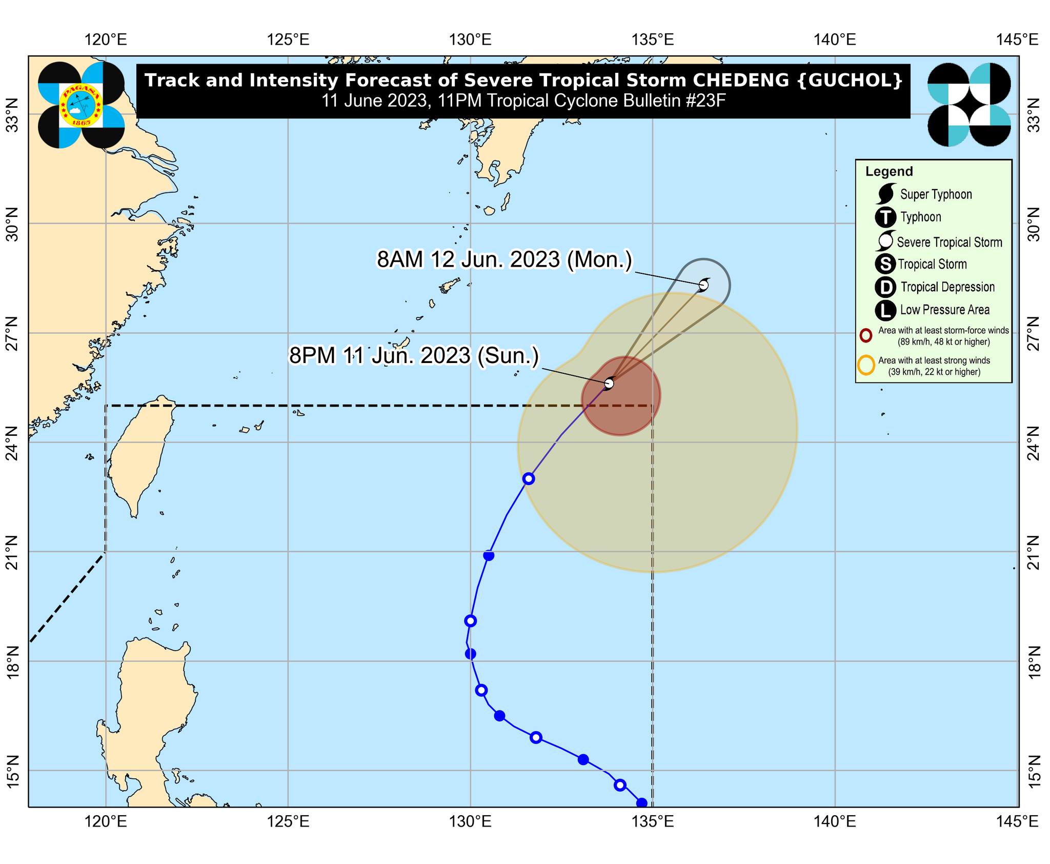
Severe Tropical Storm “Guchol” (formerly “Chedeng”) is now outside the Philippine area of responsibility (PAR), the state weather bureau reported Sunday night, June 11.
While outside PAR, “Guchol” and a possible frontal system north of extreme Northern Luzon will continue to enhance the southwest monsoon (habagat), bringing occasional to monsoon rains over the western portions of Luzon in the next three days.
At 3:00 a.m. Monday, June 12, “Guchol” was located at 1,550 kilometers (km) east northeast of extreme Northern Luzon with maximum sustained winds of 110 km per hour (kph) near the center and gustiness of up to 135 kph.
The “habagat” is forecast to bring monsoon rains over Ilocos Region, Zambales, and Bataan.
It is also expected to cause cloudy skies with scattered rain showers and thunderstorms in Metro Manila, Batanes, Babuyan Islands, Abra, Benguet, the rest of Central Luzon, Calabarzon, Occidental Mindoro, and Northern Palawan, including Calamian and Cuyo Islands.
Meanwhile, the rest of the country will experience partly cloudy to cloudy skies with isolated rain showers or thunderstorms due to “habagat” or localized thunderstorms. -ag