
By Alec Go
Several areas in Luzon are still under Tropical Cyclone Wind Signal (TCWS) No. 1 as Tropical Depression “Dodong” accelerates as it moves westward over Laoag waters.
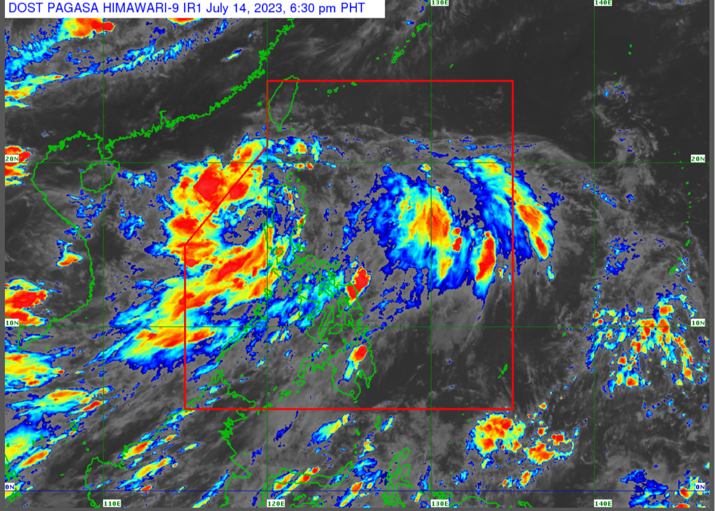
As of 4:00 p.m., “Dodong” was over the coastal waters of Laoag, Ilocos Norte with maximum sustained winds of 45 kilometers per hours (km/h) near the center and gustiness of up to 75 km/h.
The following areas are under TCWS No. 1, according to Philippine Atmospheric, Geophysical and Astronomical Services Administration (PAGASA):
- Cagayan including Babuyan Islands
- Apayao
- Ilocos Norte
- Abra
- Ilocos Sur
- Mountain Province
- Kalinga
- Northern portion of Isabela (Mallig, Quezon, Santa Maria, Cabagan, Delfin Albano, Tumauini, Santo Tomas, San Pablo, Maconacon)
“Dodong” is forecast to bring 50-100 millimeter rainfall over Cagayan, Apayao, Kalinga, Abra, Benguet, Ilocos Norte, La Union, and Pangasinan.
“Kahit itong bagyogn Dodong ay nasa northern Luzon are o nasa coastal waters na Laoag, nakararanas pa rin ng maulang panahon itong malaking bahagi ng Central [at] Southern Luzon,” PAGASA weather specialist Ana Clauren-Jorda said, adding that these are due to the southwest monsoon (habagat).
“Pati sa Metro Manila ay nakararanas ng mga pag-ulan, [gayundin ang] Occidental Mindoro, Western Visayas, Zamboanga Peninsula, nakararanas din po ng mga pag-ulan,” she added.
The tropical depression may exit the Philippine Area of Responsibility by Saturday evening to early Sunday morning.
It will move west-northwestward over the waters south of southern China, and may reach tropical storm category by Saturday over the West Philippine Sea.