
By Brian Campued
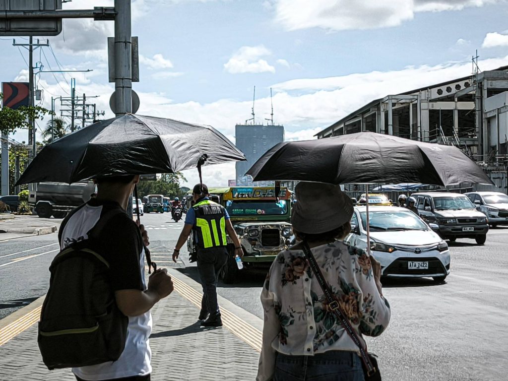
Sizzling hot weather will still be felt across the country this May, as danger-level heat indices are expected to linger in 14 areas on Sunday.
According to the Philippine Atmospheric, Geophysical and Astronomical Services Administration (PAGASA), heat index may reach as high as 43°C in Laoag City, Ilocos Norte; Dagupan City, Pangasinan; Bacnotan, La Union; and Aparri and Tuguegarao City, Cagayan.
Approximately 42°C heat index may also be experienced in the following areas:
- Pasay City, Metro Manila
- Cubi Port, Subic Bay, Olongapo City
- Camiling, Tarlac
- Sangley Point, Cavite City, Cavite
- Infanta, Quezon
- Cuyo, Palawan
- Pili, Camarines Sur
- Dumangas, Iloilo
- La Granja, La Carlota, Negros Occidental
PAGASA defines heat index as the measurement of the temperature felt by the human body in relation to humidity. The “danger” category consists of heat indices between 42°C to 51°C.
As of May 2, Bacnotan, La Union registered the highest heat index in the Philippines at 45°C while Romblon, Romblon recorded the lowest at 32°C, placing it under the “caution” category.
The state weather bureau reminded the public that prolonged exposure to extreme heat temperature significantly increases the risk of fatigue, heat cramps, heat exhaustion, and even heat stroke.
Meanwhile, PAGASA said the easterlies or warm winds coming from the Pacific Ocean will continue to affect the archipelago on Sunday, bringing cloudy skies with scattered rains and thunderstorms over Visayas and Mindanao, as well as in Sorsogon, Masbate, and Palawan.
Partly cloudy to cloudy skies with isolated rain showers or thunderstorms, on the other hand, will prevail over Metro Manila and the rest of the country.
PAGASA weather specialist Obet Badrina said that thunderstorms during the afternoon or evening may start to occur more frequently, as the onset of the rainy season usually begins by the latter half of May or early June.
No low pressure areas are also being monitored for possible tropical cyclone formation.
The state weather bureau earlier said that one to two tropical cyclones may enter or develop inside the Philippine area of responsibility (PAR) in May.
The next possible names for these potential tropical cyclones are Caloy and Domeng.
-jpv

