By Brian Campued
Tropical Depression Ada (international name: Nokaen) is expected to weaken into a low pressure area (LPA) by Wednesday afternoon due to the influence of the dry air from the northeast monsoon (amihan), the state weather bureau said.
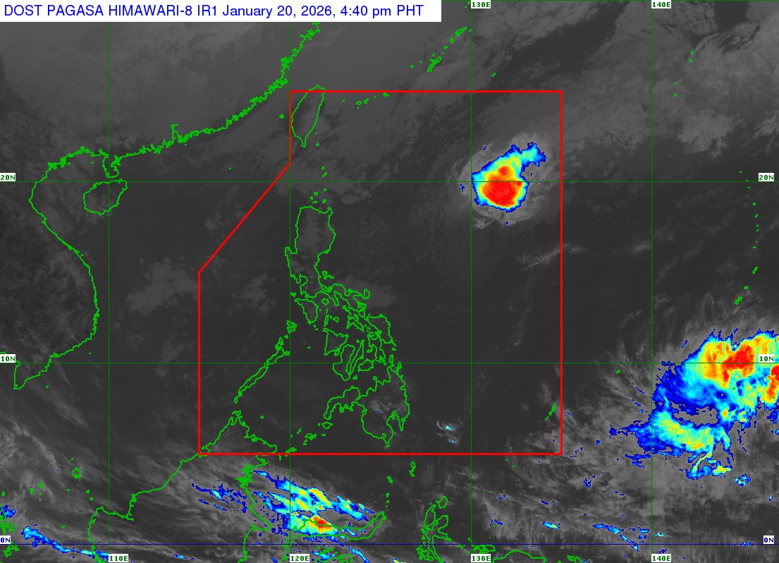
As of 5:00 p.m. Tuesday, the Philippine Atmospheric, Geophysical and Astronomical Services Administration (PAGASA) said Ada was located 970 km east of northern Luzon.
The tropical depression packs maximum sustained winds of 55 kph and gustiness of up to 70 kph while moving eastward at 25 kph.
“Sa kasalukuyan ay wala na po itong epekto sa ano mang bahagi ng ating bansa,” PAGASA weather specialist Grace Castañeda said in a public briefing.
While all Wind Signals have already been lifted, PAGASA said a Gale Warning remains in effect over the seaboards of Batanes, Cagayan (including Babuyan Islands), Isabela, Ilocos Norte, and Ilocos Sur, with waves ranging from 2.8–5.0 meters expected due to the effects of amihan.
Meanwhile, the LPA being monitored 2,250 km east of southeastern Mindanao outside the Philippine area of responsibility (PAR) still has a “low” chance of developing into a tropical depression.
“Sa mga susunod na araw nakikita natin na posible itong kumilos pa-west-northwestward generally patungo sa silangan ng Visayas at Mindanao, kung saan by this coming weekend, posibleng yung trough or yung extension nito ay magdulot ng mga pag-ulan dito sa may silangan ng Mindanao,” Castañeda said, urging the public to continue monitoring PAGASA for latest updates on the weather.