
By Marita Moaje | Philippine News Agency
The National Mapping and Resource Information Authority (NAMRIA) has clarified the roles of official Philippine maps and the country’s exclusive economic zone (EEZ) boundaries in depicting and protecting the country’s maritime jurisdiction in the West Philippine Sea amid renewed public discussion of the issue.
In a statement on Wednesday, NAMRIA said the Philippines has formally adopted the name “West Philippine Sea” in government publications since 2012.
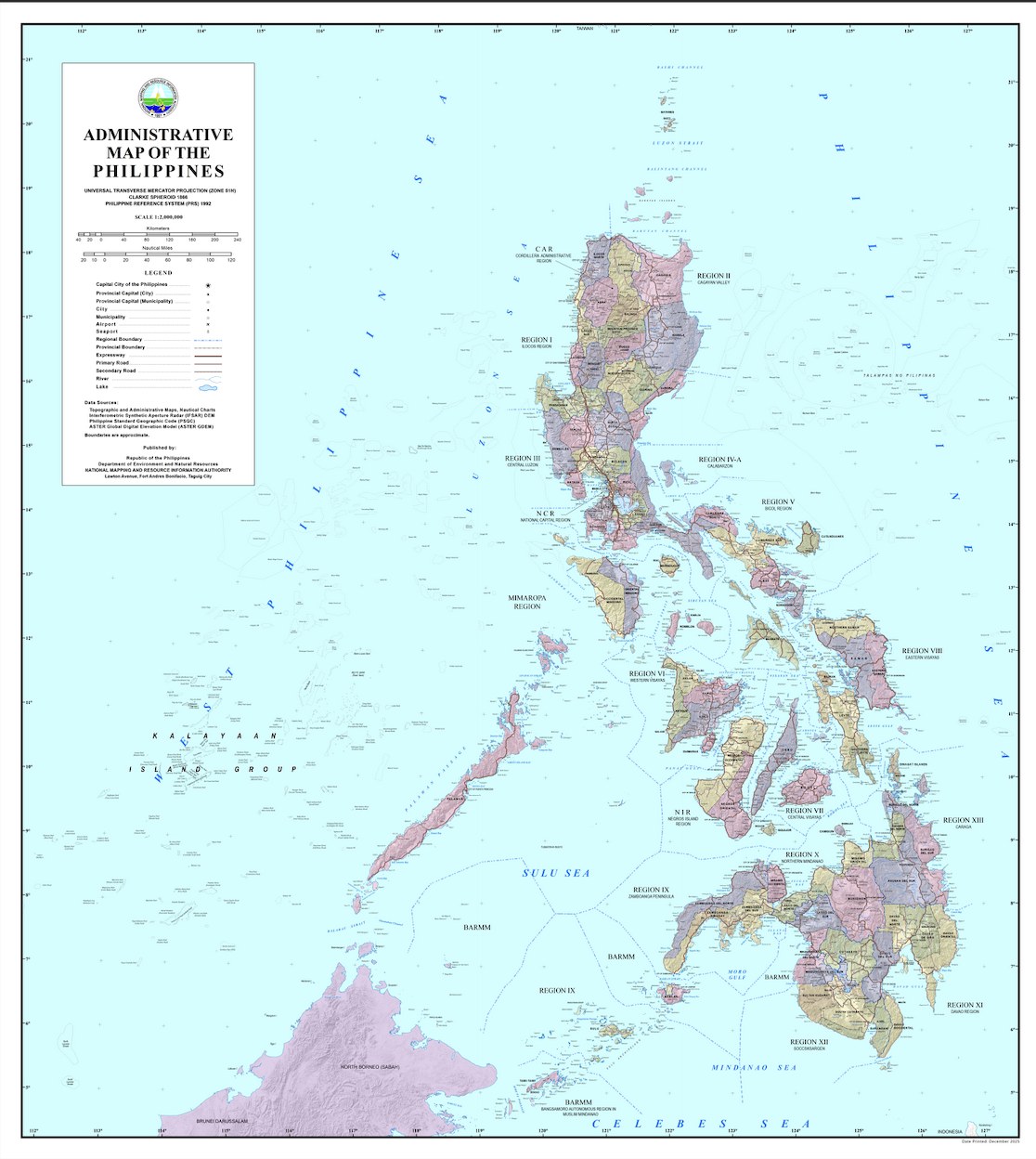
“In accordance with this policy, NAMRIA places the label consistently across its official maps and charts, including administrative maps, topographic maps, thematic maps, and nautical charts used for navigation,” it said.
These materials, the agency said, are technical reference documents used by mariners, planners, researchers, and institutions, both domestic and international, for navigation, geographic information, and maritime safety.
EEZ boundaries
Under international law, NAMRIA said the country’s EEZ extends up to 200 nautical miles from its archipelagic baselines.
“This creates a continuous curved boundary, similar to the edge of a circle, not a polygon made of straight lines,” the statement read.
Because of this, the agency said a short list of coordinates would not accurately define the country’s maritime limits, and the boundary is represented through “precise geospatial data derived from the archipelagic baselines defined in RA 9522,” allowing navigation systems and mapping software to compute the limits correctly.
Signed in March 2009 and amended previous provisions, RA 9522 is the Philippine Archipelagic Baselines Law that redefines the country’s maritime territory to align with the United Nations Convention on the Law of the Sea (UNCLOS).
International Standards
NAMRIA said its nautical charts comply with international hydrographic standards and are used by both Philippine and foreign vessels navigating waters under Philippine jurisdiction.
The charts are submitted to relevant international technical bodies, including the International Hydrographic Organization, integrating Philippine geographic information into the global maritime record, supporting safe navigation and responsible maritime activity.
NAMRIA said it will continue to uphold its mandate to produce accurate and reliable geospatial information, saying it will do so by ensuring national sovereignty, maritime safety, disaster preparedness, and sound resource management through scientifically correct and internationally compliant maps and charts.
The official administrative map may be accessed via the NAMRIA website: https://namria.gov.ph/Downloads/AdminMap/AdminMapPH.jpg.