
By Brian Campued
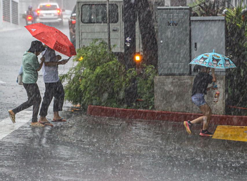
Even though Typhoon Inday (international name: Bavi) already exited the Philippine area of responsibility (PAR) this Saturday morning, it continues to enhance the southwest monsoon or habagat, bringing rains over the western section of the country this weekend.
According to the Philippine Atmospheric, Geophysical and Astronomical Services Administration (PAGASA), Inday left the PAR at 8:20 a.m. and was last located 590 km north-northeast of Itbayat, Batanes as of 10:00 a.m.
The typhoon still packs maximum sustained winds of 140 kph near its center and gustiness of up to 170 kph, while moving north-northwestward towards the East China Sea at 20 kph.
“Generally, palayo na yung paggalaw ng nasabing bagyo sa ating bansa. Gayunpaman, itong mga makakapal na kaulapan sa malaking bahagi ng Pilipinas, especially sa western section ng ating bansa, ay ang patuloy na epekto ng ating southwest monsoon o ‘yung hanging habagat na patuloy na hinahatak ng Bagyong Inday,” PAGASA Weather Specialist Daniel James Villamil said.
The province of Batanes remains under Tropical Cyclone Wind Signal (TCWS) No. 1, as strong winds ranging from 39 to 61 kph may still be felt within the next 36 hours. These could still cause minimal to minor threats to life and property, according to PAGASA.’
“Maghanda po tayo sa mga possible damages sa mga imprastruktura na gawa sa light materials,” Villamil said.
A gale warning is also in effect over the seaboards of Batanes as stormy weather conditions will cause rough to high seas and waves reaching 3.4 to 7 meters.
Rains with gusty winds and rough to very rough seas (2.8 to 5 meters) will also affect the northern and eastern seaboards of Cagayan and Babuyan Islands.
“Sa ating mga kababayang mangingisda at may maliliit na sasakyang pandagat sa mga lugar ito, huwag po muna tayong pumalaot dahil makakaranas tayo ng maalong karagatan na dulot ng Bagyong Inday,” Villamil said.
Meanwhile, the enhanced habagat will continue to drench Zambales, Bataan, and Occidental Mindoro until Monday noon, July 13. Flooding especially in urbanized, low-lying, or near-river areas as well as landslides in moderate to highly susceptible places are likely during heavy to intense rains (100-200 mm).
La Union, Pangasinan, Benguet, Tarlac, Pampanga, Bulacan, Metro Manila, Rizal, Cavite, Laguna, Batangas, Oriental Mindoro, Romblon, Marinduque, Palawan, Antique, Aklan, Capiz, Iloilo, Guimaras, and Negros Occidental will likewise experience moderate to heavy rains (50-100 mm) until Sunday noon, July 12.
Moderate to heavy rains are also expected over Ilocos Norte, Ilocos Sur, Abra, La Union, Pangasinan, Benguet, Tarlac, Pampanga, Bulacan, Metro Manila, Rizal, Cavite, Batangas, Oriental Mindoro, Romblon, Palawan, Antique, and Aklan from Sunday noon to Monday noon.
“Maghanda po tayo. Maging alerto sa mga banta ng flooding at landslides sa ating mga lugar, lalong-lalo na kung tuloy-tuloy at malalakas yung mga pag-ulan na ating nararanasan,” Villamil said.
-jpv

