
By Alec Go
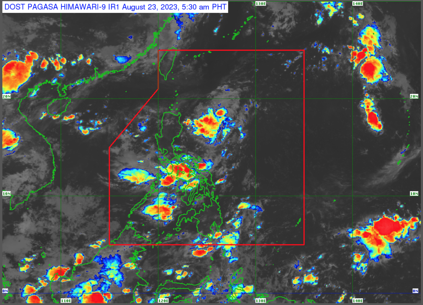
The southwest monsoon or habagat will continue to affect Southern Luzon, Visayas, and Mindanao this Wednesday, Aug. 23, while a low pressure area (LPA) has developed east of Aparri on Tuesday afternoon, according to the state weather bureau.
The trough of LPA will bring cloudy skies with scattered rain showers and thunderstorms over Cagayan Valley and the Cordillera Administrative Region.
Cloudy skies with scattered rain showers and thunderstorms are also expected over Visayas, Mindanao, Bicol Region, Mimaropa, Zambales, Bataan, and Quezon due to habagat.
These conditions may trigger possible flooding or landslides due to moderate with at times heavy rains.
Metro Manila and the rest of Luzon will experience partly cloudy to cloudy skies with isolated rain showers or thunderstorms due to habagat or localized thunderstorms.
Flash floods or landslides are possible during severe thunderstorms.
Meanwhile, the Philippine Atmospheric, Geophysical and Astronomical Services Administration (PAGASA) said the LPA was seen 570 kilometers (km) east of Aparri, Cagayan as of 3:00 a.m. on Wednesday.
“Hindi natin inaalis ang posibilidad na ito ay maging bagyo sa mga susunod na araw,” PAGASA weather forecaster Obet Badrina said.
A tropical depression moving southwestward at 10 km per hour (km/h) was also seen 3,170 km east of northern Luzon with maximum sustained winds of 45 km/h near the center and gustiness of up to 55 km /h.