
By Alec Go
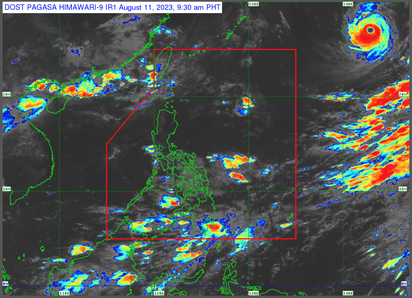
A low pressure area (LPA) has developed inside the Philippine Area of Responsibility (PAR) on Thursday afternoon, while the southwest monsoon or habagat will continue to affect the country on Friday, Aug. 11, the state weather bureau said.
As of 3:00 a.m., the LPA was 310 kilometers East of Borongan City, Eastern Samar.
“Mababa ang chance na mabuo ito bilang isang bagyo sa mga susunod na araw,” Philippine Atmospheric, Geophysical and Astronomical Services Administration (PAGASA) weather specialist Benison Estareja said.
“Inaasahan natin na posible na rin itong malusaw either mamaya or bukas,” he added.
PAGASA said the LPA and habagat will bring cloudy skies with scattered rain showers and thunderstorms over Visayas, Mindanao, Catanduanes, Sorsogon, Albay, Masbate, and the northern portion of Palawan.
Flooding and landslides are likely during moderate to at times heavy rains.
Partly cloudy to cloudy skies with isolated rain showers or thunderstorms will also prevail over Metro Manila and the rest of the country due to habagat and localized thunderstorms.
Flash floods or landslides are also possible during severe thunderstorms.
Meanwhile, Typhoon “Lan” 2,235 kilometers east northeast of extreme northern Luzon will remain far from PAR.