
By Alec Go
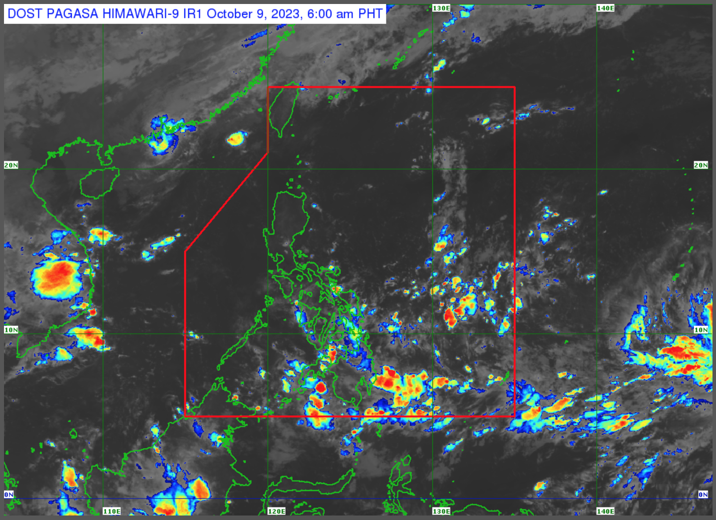
The low pressure area (LPA) east of Eastern Visayas may enter the Philippine area of responsibility (PAR) within 24 to 48 hours, the state weather bureau said Monday morning, Oct. 9.
PAGASA weather specialist Obet Badrina said the LPA has a slim chance of developing into a tropical cyclone.
The LPA was seen 1,415 kilometers (km) east of Eastern Visayas as of 3:00 a.m.
The LPA’s trough will bring cloudy skies with scattered rain showers and thunderstorms over Mindanao, Eastern Visayas, and Central Visayas.
Flash floods or landslides due to moderate to at times heavy rains are possible.
The LPA’s trough or localized thunderstorms will also bring partly cloudy to cloudy skies with isolated rain showers or thunderstorms over Metro Manila and the rest of the country.
These may result in possible flash floods or landslides during severe thunderstorms.
Aside from the LPA, the Philippine Atmospheric, Geophysical and Astronomical Services Administration is also monitoring Typhoon “Koinu” (formerly “Jenny”) west of extreme northern Luzon and Severe Tropical Storm “Bolaven” east of Eastern Visayas.
“Bolaven” is not expected to enter PAR. –cf