By Brian Jules Campued
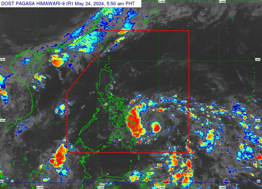
The low pressure area inside the Philippine area of responsibility (PAR) developed into a tropical depression on Friday morning and was given the local name “Aghon”, the Philippine Atmospheric, Geophysical and Astronomical Services Administration (PAGASA) said.
According to its tropical cyclone bulletin issued at 5 a.m., the PAGASA said Aghon was located 340 kilometers east of Hinatuan, Surigao del Sur, moving west-northwest at 30 kilometers per hour (kph).
The tropical depression packs maximum sustained winds of 45 kph near its center and gustiness of up to 55 kph.
The state weather bureau said strong winds of up to 61 kph may occur in the next 36 hours and may cause minimal to minor threat to life and property.
Due to this, a tropical cyclone wind signal no. 1 was raised over the following areas:
Signal No. 1
Visayas
- Eastern Samar
Mindanao
- Dinagat Islands
- Siargao Islands
- Bucas Grande Islands
In its track forecast, the PAGASA said Aghon may closely approach or make landfall over Eastern Samar on Saturday morning, while remaining a tropical depression.
PAGASA also warned of moderate to heavy rains occurring in Surigao del Norte, Dinagat Islands, northern portion of Surigao del Sur, eastern portion of Southern Leyte, and the southern portion of Eastern Samar on Friday.
Aghon may also cause moderate to rough seas along the northern and eastern seaboards of Eastern Visayas as well as the eastern seaboard of Caraga Region.
“Mariners of motor bancas and similarly-sized vessels are advised to take precautionary measures while venturing out to sea and, if possible, avoid navigating in these conditions, especially if inexperienced or operating ill-equipped vessels,” the state meteorologists said. – avds
