
By Ma. Cristina Arayata | Philippine News Agency
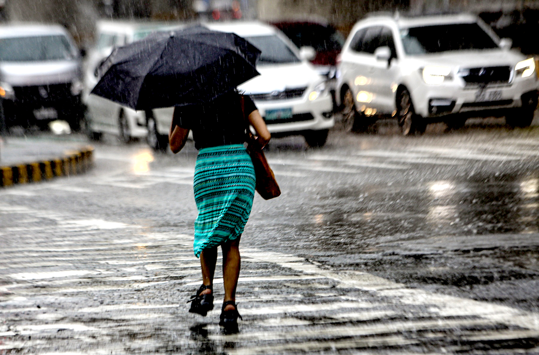
A huge part of the country will experience rain showers caused by the low pressure area (LPA), the weather bureau said Thursday, July 20.
The LPA was last tracked 650 kilometers east northeast of Hinatuan, Surigao del Sur.
“This LPA has a chance of developing into a tropical depression in 24 to 48 hours,” Patrick Del Mundo of the Philippine Atmospheric, Geophysical and Astronomical Services Administration (PAGASA) said.
He added that there is a “high uncertainty” on the track of the tropical cyclone which will be named “Egay” once it enters the Philippine area of responsibility.
PAGASA forecast the LPA to cause scattered rain showers and thunderstorms over Visayas, Romblon, Sorsogon, Masbate, Zamboanga del Norte, Misamis provinces, Camiguin, Agusan del Norte, Surigao del Norte, and Dinagat Islands.
Flash floods or landslides are possible in these areas due to moderate to at times heavy rains.
Metro Manila and the rest of the country will experience isolated rain showers due to localized thunderstorms and the trough of the LPA. Severe thunderstorms may result in isolated flooding or landslides, PAGASA said.
Light to moderate winds and slight to moderate seas will prevail across the archipelago.