
SAN JOSE DE BUENAVISTA, Antique — The Mines and Geosciences Bureau (MGB) has stressed the importance of community involvement in the province of Antique in terms of disaster mitigation.
In an interview on Tuesday, MGB Supervising Geologist Leilanie O. Suerte said based on their National Geo-hazards Assessment and Mapping Program conducted from 2006-2015 the soil in the Western Panay-Antique Range is not consolidated that it is why the mountainous areas are susceptible to landslides.
“The Western Panay-Antique Range is made up of sandstone, siltstone and mudstone that it could easily loosen up,” she said.
The Western Panay-Antique Range stretches from Hamtic, which is only separated from Iloilo province by a boundary in San Joaquin, up to its northernmost town Libertad, which is again separated by a boundary from Aklan province.
Because of the unconsolidated soil, they are asking communities to immediately report to their local officials any unusual earth movement in their localities.
“Community folks should immediately report to their local officials so that preemptive measures could be done,” she said.
She said that earthquakes like what happened last Monday could further loosen up the soil. So when it rains the water could flow into the cracks and voids of the Western Panay Antique Range that could further aggravate the situation.
Suerte was referring to three magnitude 4 quakes in a day, which shook Panay Island.
“For the Antique Provincial Disaster Risk Reduction and Management Office there is a need to always closely monitor the mountainous areas so that preemptive evacuation could be implemented,” she said.
She added that relief goods should also be prepared in case the roads going to the province will become impassable because of landslide. Landslides usually happen in the boundary of Iloilo and Antique.
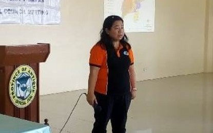
Suerte was in Antique for the full council meeting of the Regional Disaster Risk Reduction and Management Council on Monday. (Annabel Consuelo Petinglay/PNA)