
By Dean Aubrey Caratiquet
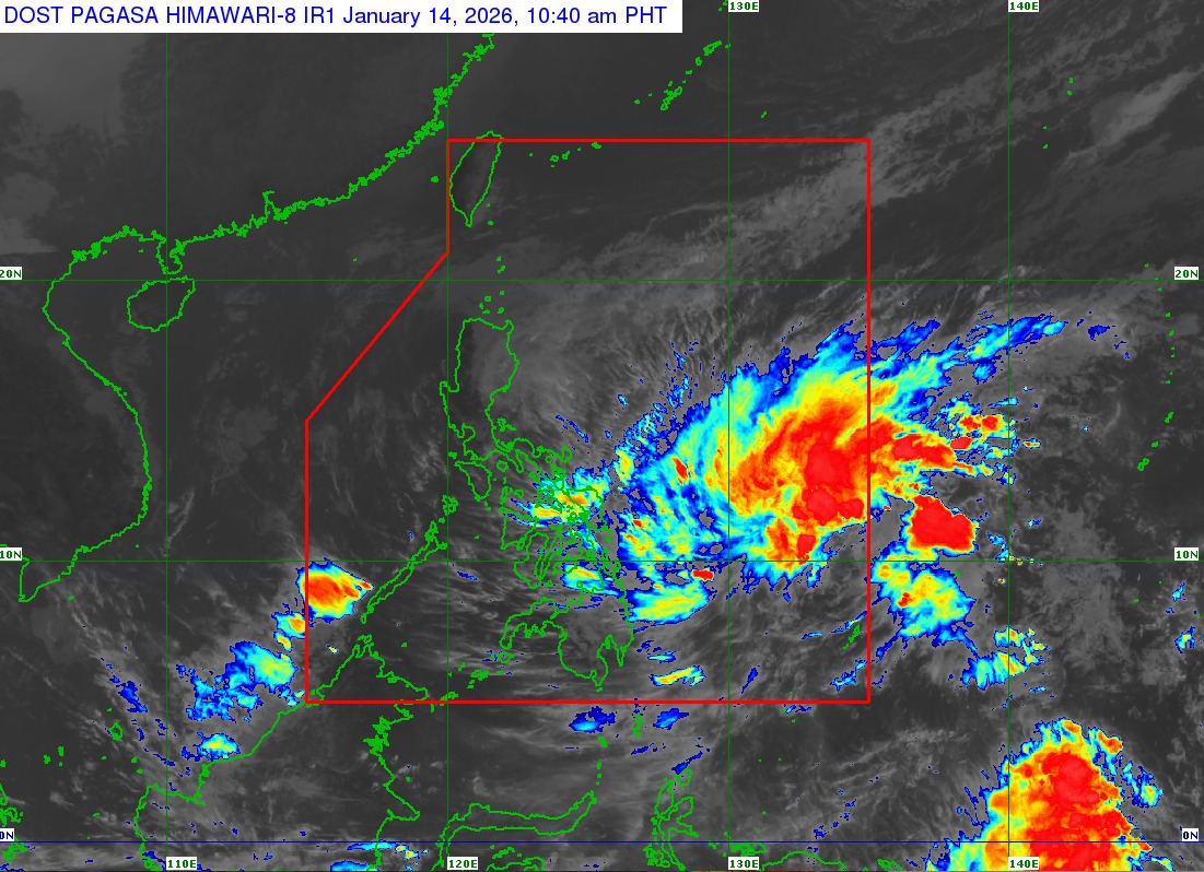
A low pressure area (LPA) that formed outside the Philippine area of responsibility (PAR) on Tuesday morning increased in strength and became Tropical Depression Ada, according to PAGASA’s 11:00 a.m. bulletin.
The first tropical cyclone of 2026 was last located 635 km East of Hinatuan, Surigao del Sur, packing maximum sustained winds of 45 kph and gustiness of up to 55 kph, as it moves northwestward at 35 kph.
Ada’s formation led the state weather bureau to raise Tropical Cyclone Wind Signal No. 1 in Northern Samar, Samar, Eastern Samar, Dinagat Islands, Surigao del Norte, and Surigao del Sur. These areas are expected to experience strong winds over the next 36 hours.
While no gale warning advisory has been issued, PAGASA advises fisherfolk and operators of small marine vessels against sailing due to rough seas over the following coastal waters:
• Up to 4.0 m: The seaboards of Ilocos Norte and Camarines Norte; the northern seaboard of Camarines Sur; the northern and eastern seaboards of Catanduanes, Northern Samar, and Siargao-Bucas Grande Islands; the eastern seaboards of Albay, Sorsogon, Eastern Samar, and Dinagat Islands.
• Up to 3.5 m: The seaboards of Babuyan Islands, Isabela, Aurora, northern mainland Quezon, and Surigao del Sur; the eastern seaboard of mainland Cagayan; the northern and eastern seaboards of Polillo Islands.
• Up to 3.0 m: The seaboards of Batanes and Ilocos Sur; the eastern seaboard of Davao Oriental; the remaining seaboard of mainland Cagayan.
PAGASA notes that Tropical Depression Ada will continue to gradually intensify over the Philippine Sea and may reach Tropical Storm category within the next 24 hours.
It is also expected to move west northwestward to northwestward over the next 3 days, and pass close or make landfall over Eastern Visayas on Friday (January 16) or Saturday (January 17).
jpv