
By Christine Fabro
The low pressure area (LPA) within the Philippine area of responsibility (PAR) is less likely to develop into a tropical cyclone, the state weather bureau said Monday, June 26.
The Philippine Atmospheric, Geophysical and Astronomical Services Administration (PAGASA) reported that at 3:00 a.m. Monday, the LPA was spotted at 500 kilometers (km) east of Borongan City, Eastern Samar. It is embedded along the Intertropical Convergence Zone (ITCZ).
“[Sa] kasalukuyan ay maliit pa rin ‘yung tiyansa na ito ay maging bagyo,” PAGASA Weather Specialist Obet Badrina said.
“Posibleng maging cloud cluster na lamang ito sa mga susunod na araw,” he added.
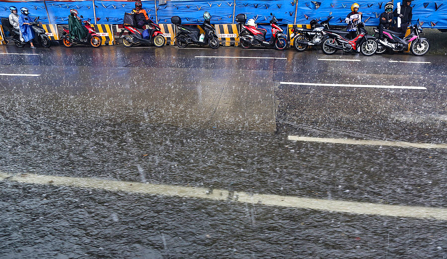
The ITCZ is expected to bring cloudy skies with scattered rain showers and thunderstorms in Visayas, Mimaropa, Bicol Region, Aurora, and Quezon.
Meanwhile, Metro Manila and the rest of the country will experience partly cloudy to cloudy skies with isolated rain showers or thunderstorms due to ITCZ/localized thunderstorms.
The temperature in Metro Manila will range from 25ºC to 32ºC; Baguio City, 17ºC to 24ºC; Laoag City, 25ºC to 33ºC; Puerto Princesa, 24ºC to 32ºC; Metro Cebu, 25ºC to 32ºC; Metro Davao, 25ºC to 33ºC.