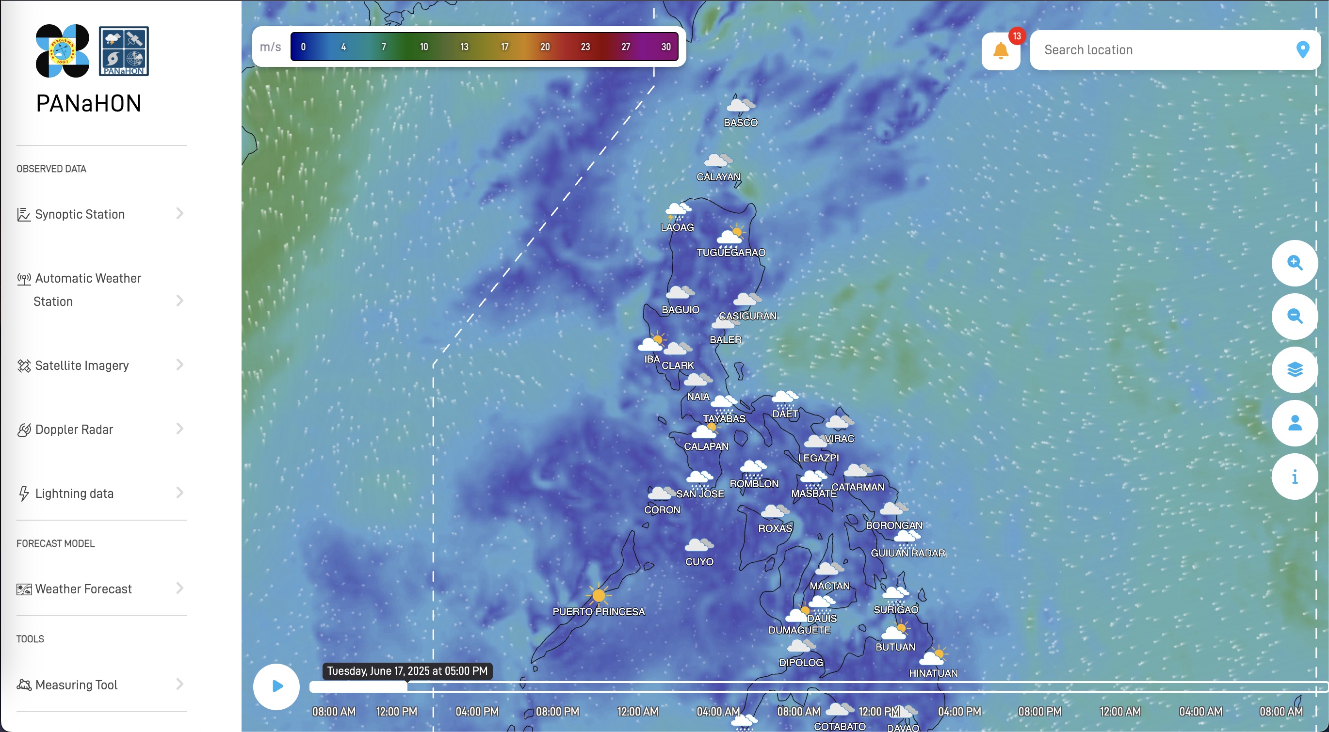
The Philippine Atmospheric, Geophysical and Astronomical Services Administration (PAGASA) on Monday launched the upgraded National Hydro-Met Observing Network (PANaHON) interactive platform—enabling users to access more accurate weather data such as rainfall accumulation, temperature, wind speed, and atmospheric pressure for specific geographic locations.
According to PAGASA, the interactive map features clickable grid points, a time slider, and location-based search features, all designed to enhance the user experience regarding meteorological conditions in the Philippines.
“Using our ground observation, using our radars, using the satellite, so available siya lahat. So ’yon ‘yong wala doon sa ibang platform kasi, and also one thing that we ensure is that all official information we’re coming from the site, so hindi siya nagiging source ng fake news,” PAGASA Senior Weather Specialist Raymond Ordinario explained.
All regional warnings are now also consolidated into a centralized alert system displayed through color-coded markers with hazard information, making it easier for users to access crucial weather advisories.
“Not only consolidating all the rainfall warnings for different regional divisions ng PAGASA, but to harmonize ‘yong the use of color codes,” PAGASA Administrator Nathaniel Servando said.
The launch coincided with the observation of the Typhoon and Flood Awareness Week this month, with the theme “Kahandaan sa Bagyo at Baha, Solusyon sa Ligtas na Bayan”.
This initiative aimed to enhance the public’s understanding of the risks associated with typhoons and floods while promoting preparedness and resilience within communities. — Genesis Gabriel P. Baculbas / PTV-DMIS Intern (with report from Rod Lagusad / PTV News)
— bjlc / av
