
By Brian Campued
Typhoon Pepito continues to weaken and is now a severe tropical storm over the West Philippine Sea, the state weather bureau reported Monday.
In its tropical cyclone bulletin issued at 11:00 a.m., the Philippine Atmospheric, Geophysical and Astronomical Services Administration (PAGASA) said “Pepito” was located 270 kilometers west of Batac, Ilocos Norte, moving west-northwestward at 20 kilometers per hour.
The severe tropical storm packs winds of 110 kph and gusts of up to 135 kph.
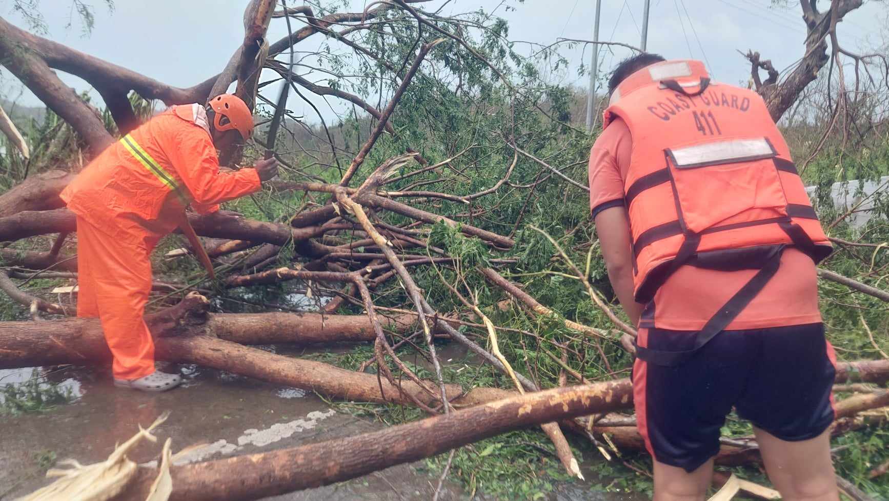
Pepito made landfall as a super typhoon in Panganiban, Catanduanes in “Kristine”-hit Bicol Region on Saturday and in Dipaculao, Aurora on Sunday.
Based on the cyclone’s forecast track, PAGASA said Pepito will exit the Philippine area of responsibility (PAR) Monday noon or afternoon and may weaken to a “remnant low” by Wednesday (Nov. 20).
Tropical Cyclone Wind Signal (TCWS) No. 1 is still hoisted over the following areas in Northern Luzon:
- Ilocos Norte
- Ilocos Sur
- La Union
- Western portion of Pangasinan (Burgos, Dasol, Sual, Mabini, Binmaley, San Fabian, Dagupan City, Lingayen, Labrador, City of Alaminos, Bolinao, Anda, Bani, Agno, Infanta, Bugallon, Mangaldan)
- Western portion of Abra (Danglas, Bangued, Langiden, La Paz, Pidigan, San Quintin, San Isidro, Pilar, Peñarrubia, Villaviciosa, Lagayan)
Meanwhile, the province of Batanes may still experience moderate to heavy rains until Tuesday noon due to Pepito.
The storm surge warning in several areas have also been lifted but the gale warning is still in place over the northern and western seaboards of Northern Luzon.
—avds