By Brian Campued
State seismologists have located the source of the powerful offshore earthquake that jolted northern Cebu and the rest of Visayas on Sept. 30.
In a statement Friday, the Philippine Institute of Volcanology and Seismology (Phivolcs) said its Quick Response Team (QRT) found the onland extension of the fault in Sitio Looc, Barangay Nailon in Bogo City.
The active fault was named the Bogo Bay Fault, which caused the magnitude 6.9 quake.
“[T]he team observed fault scarps, open cracks, and small pressure mounds within a 2-meter-wide deformation zone,” Phivolcs said. “Initial field mapping recorded about 200 meters of surface rupture, while drone surveys revealed the fault may extend up to 1.5 kilometers, showing signs of right-lateral movement.”
It added that field verification is ongoing to determine the full extent of the rupture.
The Phivolcs’ QRT, in coordination with the Tactical Operations Wing Central of the Philippine Air Force, conducted an aerial survey over Medellin, San Remigio, Daanbantayan, Bogo City, Malapascua, and Bantayan on Saturday to assess the aftermath of the Cebu earthquake.
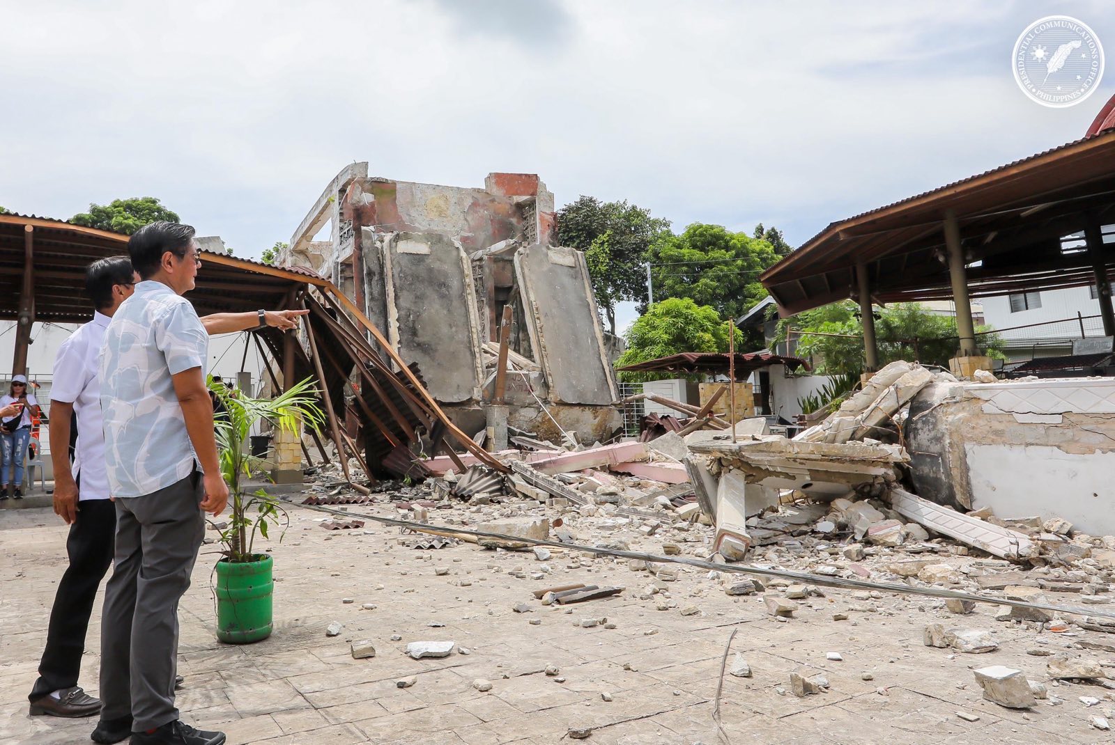
The team monitored earthquake hazards, including structural damages due to the strong ground shaking, landslides, and fissures due to ground rupture, among others.
Phivolcs’ Seismological Observation and Earthquake Prediction Division Chief, Dr. Winchelle Ian Sevilla, earlier said that no destructive earthquakes have been recorded in the last 400 years in Bogo City or the epicentral area.
However, Cebu remains seismically active as the province is situated in an area with many fault lines—such as Bogo Fault, Daanbantayan Lineament, and the Cebu Fault System.
At least eight significant earthquakes with magnitudes ranging from 5.0 to 7.2 struck Cebu and nearby provinces between 1985 and 2013, the Phivolcs said in its primer on the northern Cebu tremor.
These include the magnitude 6.9 event in Negros Oriental on Feb. 6, 2012, and the magnitude 7.2 event in Bohol on Oct. 15, 2013.
As of 4:00 p.m. on Saturday, a total of 5,391 aftershocks were recorded from the temblor. Of this number, 1,051 were plotted while 22 were felt.
Aftershock magnitudes ranged from 1.0 to 5.1.
The powerful Cebu earthquake has claimed the lives of 70 individuals and injured 559 others, according to the situational report of the National Disaster Risk Reduction and Management Council (NDRRMC) issued at 6:00 a.m. on Saturday.
All of the casualties—both dead and injured—are still undergoing validation while no missing persons have been reported so far, the NDRRMC clarified.
Around 128,294 families or equivalent to 457,554 persons were affected by the quake across 184 barangays in Central Visayas.
-jpv
