
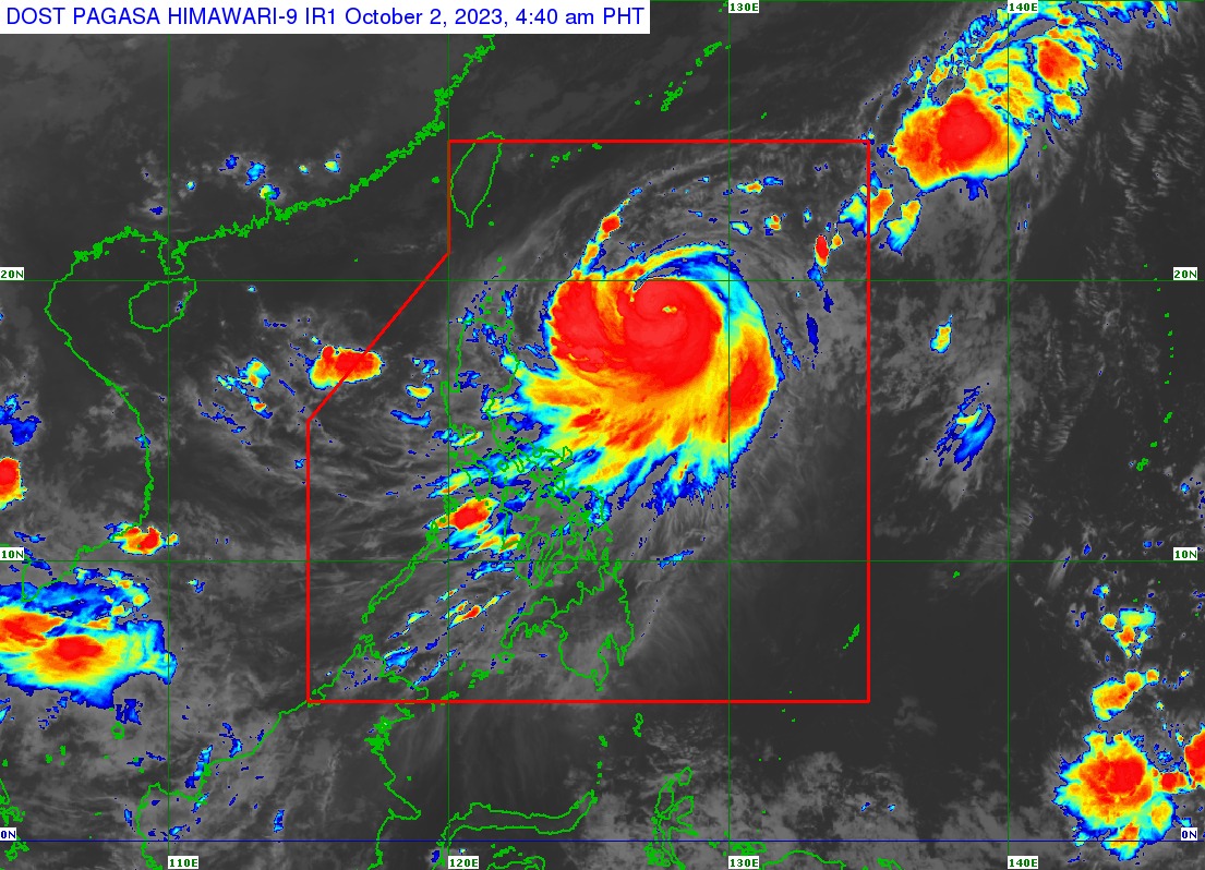
Severe tropical storm “Jenny” further intensified into a typhoon category on Monday morning, Oct. 2, the weather bureau said.
As of 4:00 a.m., the center of Typhoon “Jenny” was spotted at 655 km east of Aparri, Cagayan or 665 km east of Calayan, Cagayan.
It is moving northwestward at 10 km/h with maximum sustained winds of 120 km/h and a gustiness of up to 150 km/h.
Tropical Cyclone Wind Signal (TCWS) No. 1 is in effect in the following areas of Luzon:
- Batanes
- Babuyan Islands
- Eastern portion of mainland Cagayan (Santa Ana, Gonzaga, Buguey, Santa Teresita, Lal-Lo, Baggao, Gattaran, Peñablanca)
- Eastern portion of Isabela (Maconacon, Divilacan, Palanan)
In its latest bulletin, the Philippine Atmospheric, Geophysical and Astronomical Services Administration (PAGASA) said “Jenny” will continue to enhance the southwest monsoon or “habagat” and bring occasional to monsoon rains over the western portions of Central Luzon, Southern Luzon, Visayas, and Mindanao in the next three days.
Typhoon “Jenny” is forecast to leave the Philippine area of responsibility on Thursday evening or Friday morning. CF