
By Brian Jules Campued
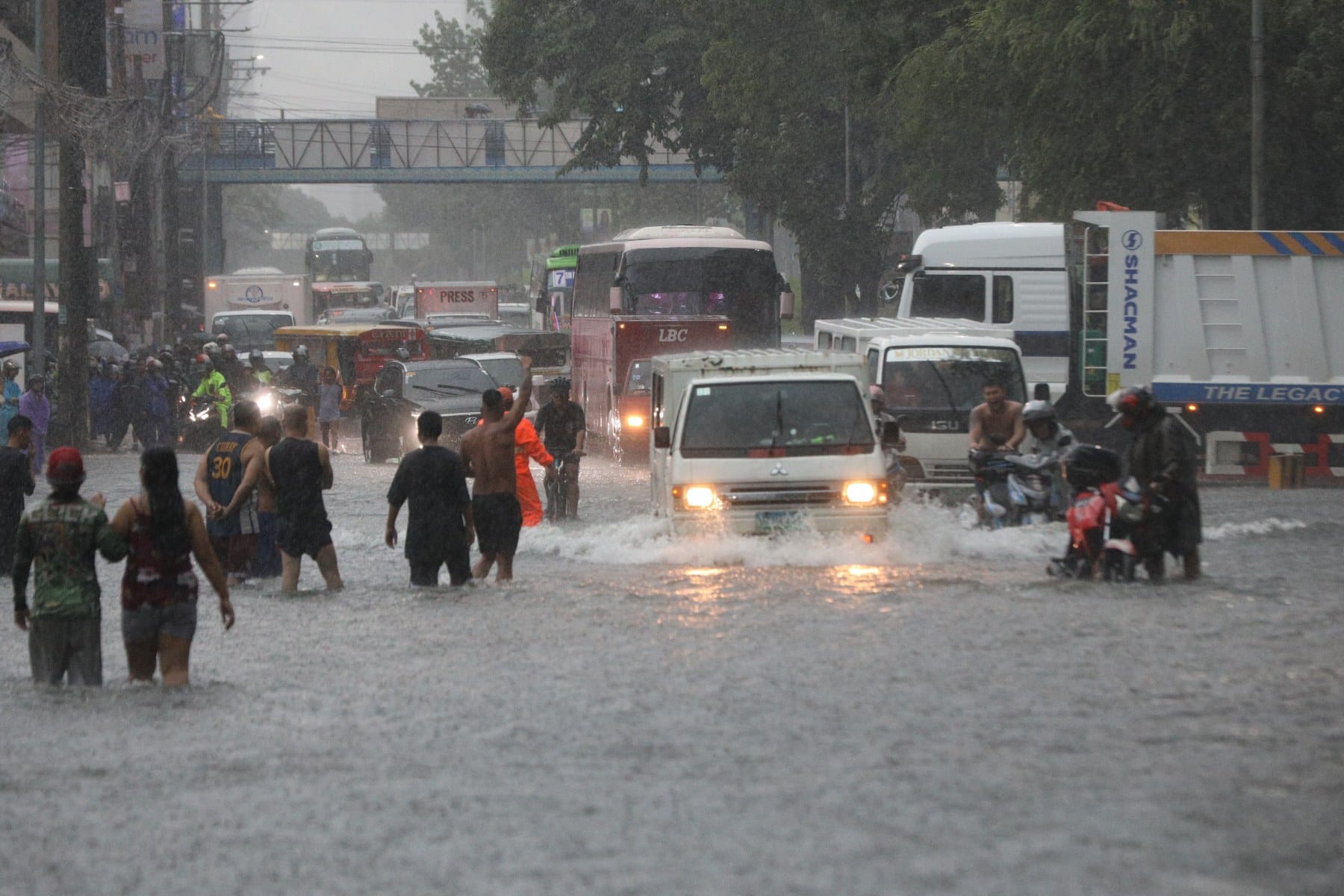
After drenching and inundating Metro Manila and other nearby provinces in Luzon, Typhoon Carina has exited the Philippine Area of Responsibility (PAR) as of Thursday morning, according to the state weather bureau.
In an 11 a.m. public weather forecast, the Philippine Atmospheric, Geophysical and Astronomical Services Administration (PAGASA) said Carina left the PAR at 6:20 a.m. but continues to intensify the southwest monsoon or “habagat” affecting most parts of Luzon.
The eye of Carina was last spotted at 515 kilometers north northwest of Itbayat, Batanes, moving west-northwestward at 20 kilometers per hour (kph).
The typhoon packs maximum sustained winds of 140 kph and gustiness of up to 215 kph.
Tropical Cyclone Wind Signal no. 1 is still raised over Batanes as Carina crosses Taiwan Strait.
PAGASA weather specialist Ana Clauren-Jorda said an orange rainfall warning is also hoisted over Zambales and Batanes while both Pampanga and Tarlac are under yellow rainfall warning.
“Itong mga areas na ito ay pinagmo-monitor po natin sila, dahil ang mga pag-ulan na ating inaasahan for the next three hours ay posible pa rin pong magdulot ng mga pagbaha at pagguho ng lupa,” Clauren-Jorda said.
Meanwhile, the typhoon-enhanced habagat is forecast to bring heavy to intense rainfall in Ilocos Region, Zambales, Abra, Benguet, and Bataan, while moderate to heavy rains are expected to fall over Metro Manila, Pampanga, Cavite, Batanes, Babuyan Islands, and Occidental Mindoro on Thursday.
PAGASA also advised mariners to avoid sailing over the coastal waters of Batanes, Babuyan Islands, Ilocos Norte, Ilocos Sur, and northwestern Cagayan as Carina and the monsoon are expected to cause moderate to rough seas.
According to PAGASA’s track forecast, Carina is expected to weaken as it crosses the mountainous terrain of Taiwan and possibly make its final landfall over southeastern China on Thursday afternoon or evening. – iro

