
By Jose Cielito Reganit and Zaldy De Layola | Philippine News Agency
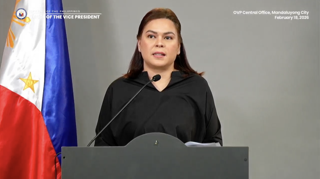
The House Committee on Justice on Wednesday adopted its ground rules and issued multiple subpoenas as it formally began hearings on the impeachment complaints against Vice President Sara Duterte.
Chaired by Batangas Rep. Gerville Luistro, the panel ordered the issuance of a subpoena duces tecum to the National Bureau of Investigation (NBI), following a motion by Manila Rep. Joel Chua, to obtain records related to the alleged threats made by Duterte against President Ferdinand R. Marcos Jr., First Lady Liza Araneta-Marcos, and former Speaker Martin Romualdez.
The alleged threats were made during a November 2025 press conference where Duterte said she had ordered an individual to kill the three in the event of her death.
The subpoena directs the NBI to submit certified copies of all records, documents and photographs gathered during its investigation.
Lawmakers also moved to secure financial and corporate records linked to Duterte, her family, and associated entities as part of the committee’s examination of alleged unexplained wealth and irregularities in public disclosures.
Chua likewise moved for the issuance of a subpoena to the Office of the Ombudsman for Duterte’s Statements of Assets, Liabilities and Net Worth (SALN), while Bicol Saro Party-list Rep. Terry Ridon sought subpoenas to the Bureau of Internal Revenue (BIR) for income tax returns and related records of Duterte, her spouse Manases Carpio, and identified business entities.
The committee granted the motion directing the issuance of a subpoena ad testificandum and subpoena duces tecum to a BIR representative covering tax records from 2007 to 2025.
Ridon also moved for subpoenas to the Securities and Exchange Commission for general information sheets and audited financial statements of several firms linked to Duterte and her family to verify ownership and financial activity, which the panel likewise approved.
In connection with the alleged misuse of confidential funds, ML Party-list Rep. Leila De Lima moved for subpoenas to Commission on Audit official Gloria Camora to testify and produce liquidation reports, disbursement vouchers, certifications and related submissions of the Office of the Vice President (OVP) and the Department of Education (DepEd).
De Lima also sought subpoenas to Duterte’s alleged “bagman” Ramil Madriaga to authenticate his Nov. 29, 2025 affidavit and present supporting evidence on the receipt, handling and distribution of confidential funds; and to notary public Cynthia Viñas-Pantoñal to confirm its due execution and notarization and produce the original document.
On motion by ACT Teachers Party-list Rep. Antonio Tinio, the committee also ordered the issuance of a subpoena to lawyer Michael Poa, who served as Duterte’s chief of staff and spokesperson at the DepEd when she was its secretary, during which the agency received P112.5 million in confidential funds in 2022 and 2023.
On motion by Akbayan Rep. Chel Diokno, the panel likewise approved placing Madriaga under protective custody.
Upon De Lima’s motion, the House Legislative Library Archives Division was directed to submit transcripts, video recordings, and related records of prior House hearings in 2024 on OVP and DepEd confidential funds, including the affidavit of former DepEd Undersecretary Gloria Mercado and related submissions.
The panel also ordered the Philippine Statistics Authority to provide and authenticate civil registry documents, including birth, marriage, and death records for individuals listed in OVP and DepEd submissions, to verify the identities of recipients of confidential funds.
These subpoenas form part of the committee’s evidence-gathering process on the two remaining impeachment complaints against the Vice President, which were earlier found sufficient in form, substance and grounds.
Earlier in the hearing, members adopted detailed ground rules to govern the proceedings, presented by vice chair San Juan City Rep. Ysabel Maria Zamora.
Under the rules, the 38-member panel will operate with a quorum of one-fifth of its total membership, with ex officio members granted both voice and vote.
Members must coordinate with the committee secretariat for recognition, with proceedings following an alternating majority-minority format, with five minutes allotted per side and a possible second round if time permits.
Lawmakers must wait to be recognized by the chair before speaking.
Only committee members may examine or cross-examine resource persons, who are not allowed to speak or make interjections unless recognized by the chair, in accordance with the Rules of Procedure in Impeachment Proceedings.
Parties may request permission to submit questions to the chair, who may propound them if deemed necessary to clarify matters.
The participation of lawyers is limited to advising their clients on their constitutional rights, submitting questions to the chair, and filing appropriate manifestations or memoranda when required by the committee.
The Justice panel is conducting hearings to determine whether probable cause exists to elevate the impeachment complaints to the Senate, which will serve as the impeachment court.
Further hearings are scheduled on April 14, 22, and 29.