
By Alec Go
The state weather bureau said “Chedeng” has intensified into a typhoon on Thursday afternoon, June 8, but remains far from the Philippine landmass.
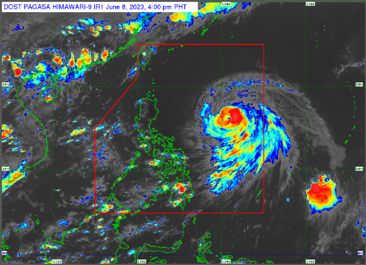
As of 4:00 p.m., “Chedeng” was seen 935 kilometers (km) east of Central Luzon.
It is moving northwestward at 15 km per hour (km/h) with maximum sustained winds of 120 km/h near the center and gustiness of up to 150 km/h.
The typhoon is forecast to continue intensifying in the next two to three days and may reach peak intensity by Saturday.
The Philippine Atmospheric, Geophysical and Astronomical Services Administration (PAGASA) said the typhoon may exit the Philippine area of responsibility on Monday morning.
No tropical cyclone wind signals have been raised as of posting, and the hoisting of wind signals remains unlikely.
“Chedeng” also remains unlikely to directly cause heavy rainfall in the country.
However, it may enhance the southwest monsoon (habagat) which may bring gusty conditions over the following:
June 9: Visayas, Romblon, Occidental Mindoro, the northern portion of Palawan including Kalayaan, Calamian, and Cuyo Islands, Surigao del Norte, Dinagat Islands, and Camiguin
June 10: Visayas, Calabarzon, Mimaropa, Bicol Region, Camiguin, and Dinagat Islands