
By Alec Go
The trough of Tropical Storm “Jenny” (international name: Koinu) and the southwest monsoon or habagat will bring cloudy skies and rains over parts of the country this Saturday, Sept. 30, according to the state weather bureau.
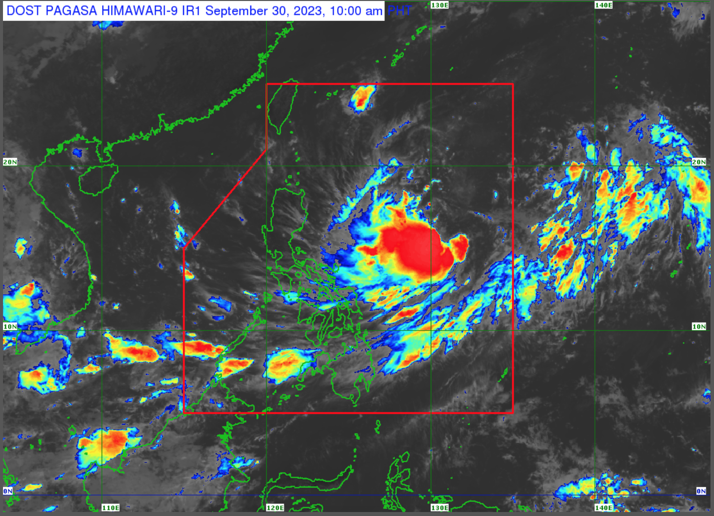
As of 10:00 a.m., PAGASA said “Jenny” was spotted 1,025 kilometers (km) east of Central Luzon, moving west southwestward at 35 km per hour (km/h) with maximum sustained winds of 65 km/h and gustiness of up to 80 km/h.
No tropical cyclone wind signals are hoisted as of posting.
The trough of “Jenny” will bring cloudy skies with scattered rain showers and thunderstorms over Quezon, Bicol Region, and Eastern Visayas.
The same conditions will be experienced over Mimaropa, Zamboanga Peninsula, and the rest of Visayas due to habagat.
Meanwhile, Metro Manila and the rest of the country will have partly cloudy to cloudy skies with isolated rain showers or thunderstorms due to the trough of “Jenny” and localized thunderstorms.
PAGASA said the tropical storm currently has no direct effect over the country, but may bring heavy rainfall over Batanes and Babuyan Islands on Tuesday or Wednesday.
Habagat enhancement by “Jenny” is expected to bring gusty conditions in Palawan, Romblon, most of Visayas, and Dinagat Islands on Sunday.
“Jenny” is forecast to intensify into a severe tropical storm on Sunday.
“Late Monday or Tuesday, possible na nasa typhoon category na nga itong si ‘Jenny’,” PAGASA weather specialist Veronica Torres said.
“A landfall or close approach scenario over Extreme Northern Luzon or northeastern mainland Cagayan is not ruled out since these scenarios are within the forecast confidence cone,” PAGASA said in its 11:00 a.m. bulletin.