
By Brian Campued
Tropical Storm Helen exited the Philippine Area of Responsibility (PAR) on Wednesday afternoon, according to the Philippine Atmospheric, Geophysical, and Astronomical Services Administration (PAGASA).
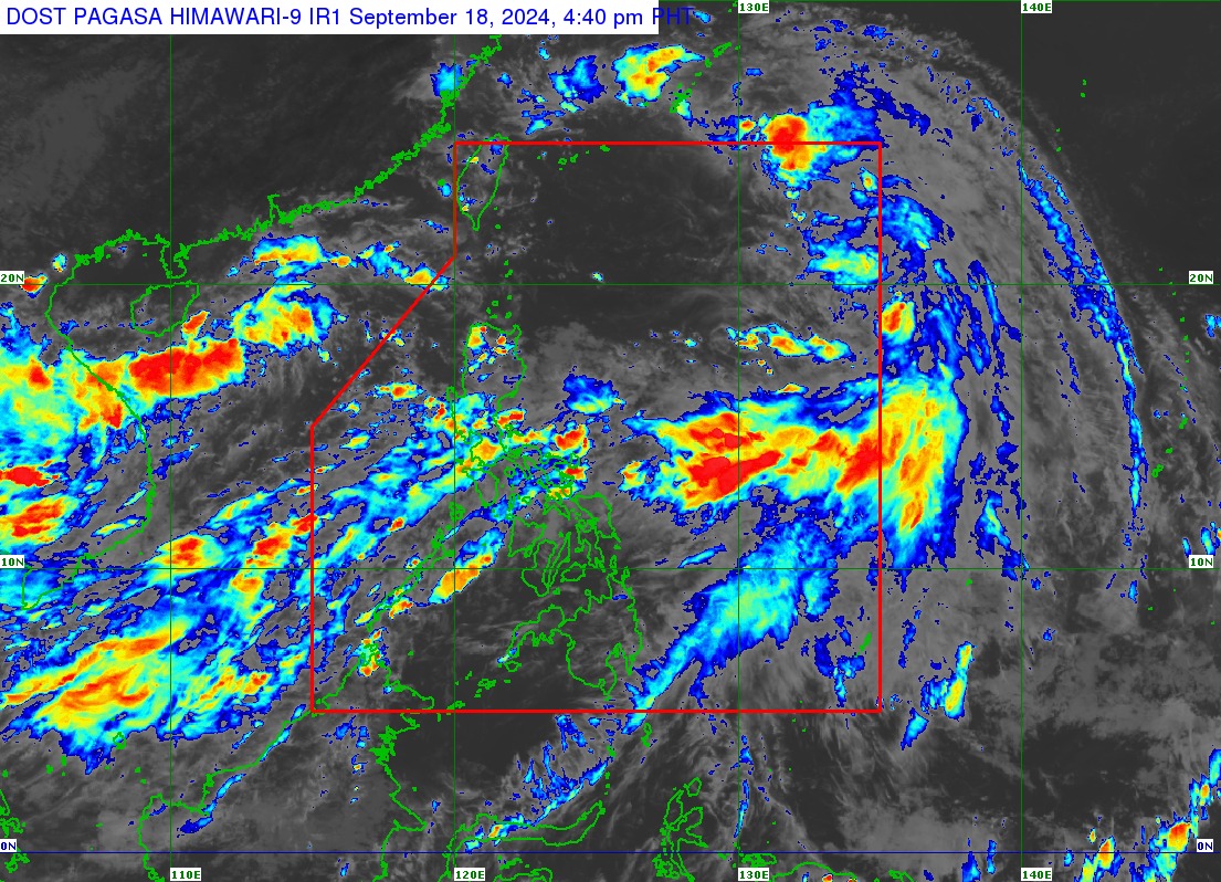
In its tropical cyclone bulletin issued at 5:00 p.m., PAGASA said Helen will remain far from the Philippine landmass and not directly affect any part of the country.
“Malayo itong Bagyong Helen sa bansa, so hindi ito nakakaapekto sa ating panahon,” PAGASA weather specialist Aldczar Aurelio said in a press briefing.
The tropical cyclone was located 930 kilometers (km) east-northeast of extreme northern Luzon, moving northwestward at 40 kilometers per hour (kph).
The tropical depression packs maximum sustained winds of 85 kph near its center and gustiness of up to 105 kph.
Likewise, a gale warning is still in effect over several coastal waters in the western seaboard of Central Luzon, the seaboard of Occidental Mindoro, and the western seaboard of Palawan including Kalayaan Islands.
“Bawal munang pumalaot sa mga lugar na ito dahil sa matataas na alon, lalo na ang mga gumagamit ng maliliit na sasakyang pandagat,” Aurelio said.
Meanwhile, the southwest monsoon enhanced by Helen and Tropical Depression Gener, which left the PAR early Wednesday morning, will bring heavy to intense rains in Zambales and Bataan until Thursday afternoon.
“Samantala, moderate to heavy rains naman sa Metro Manila, Bulacan, Pampanga, Calabarzon, at Mimaropa,” he said. — iro