By Brian Campued
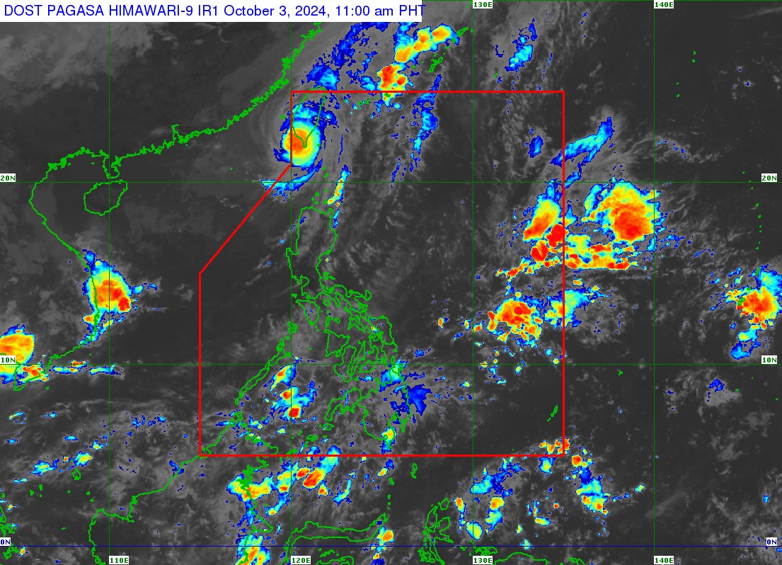
Typhoon Julian has re-entered the Philippine area of responsibility (PAR) on Thursday morning, according to the Philippine Atmospheric, Geophysical and Astronomical Services Administration (PAGASA).
In its tropical cyclone bulletin issued at 11:00 a.m., PAGASA said Julian was last spotted at 245 kilometers (km) northwest of Itbayat, Batanes, moving slowly east-northeastward.
The typhoon packs maximum sustained winds of 120 kilometers per hour (kph) and gustiness of up to 165 kph.
The province of Batanes remains under Tropical Cyclone Wind Signal No. 1 as Julian makes landfall in southwestern Taiwan later afternoon.
Despite its re-entry in the PAR region, the tropical cyclone will have no direct effect over the rest of the country, PAGASA said.
Julian previously exited the PAR as a super typhoon Tuesday.
In its track forecast, the state weather bureau said Julian will rapidly weaken into a low pressure within 36 hours.
“Dito sa 24-hour forecast po natin, nandito na po siya sa kalupaan ng Taiwan at ito’y isang ganap na lamang na tropical storm,” PAGASA weather forecaster Chenel Dominguez said in a press briefing.
“By 36 hours po natin, ay isa na ’tong ganap na low pressure area dahil sa interaction niya dito sa kalupaan. At possible din po ito po ay mag-dissipate o lumabas din po ng ating Philippine Area of Responsibility by Friday,” Dominguez added.
Meanwhile, mariners of most types of vessels are advised against sea travel as a gale warning is still hoisted over the northern seaboard of Northern Luzon—particularly in Batanes, with waves expected to reach 4.5 meters high. —iro
