
By Christine Fabro
The location of the sunken motor tanker (MT) Princess Empress was identified, according to a report from the Department of Environment and Natural Resources (DENR) Monday, March 6.
“We are pleased to report that through the efforts of BRP Hydrographer Ventura, we may have detected the possible site where the vessel is actually located.” the report read.
The vessel was located at about 1,200 feet or approximately 400 meters below sea level northeast of Pola, Oriental Mindoro.
DENR said a remotely-operated vehicle will be deployed to verify the actual location of the vessel and “completely model the way the oil will be spilling from the vessel.”
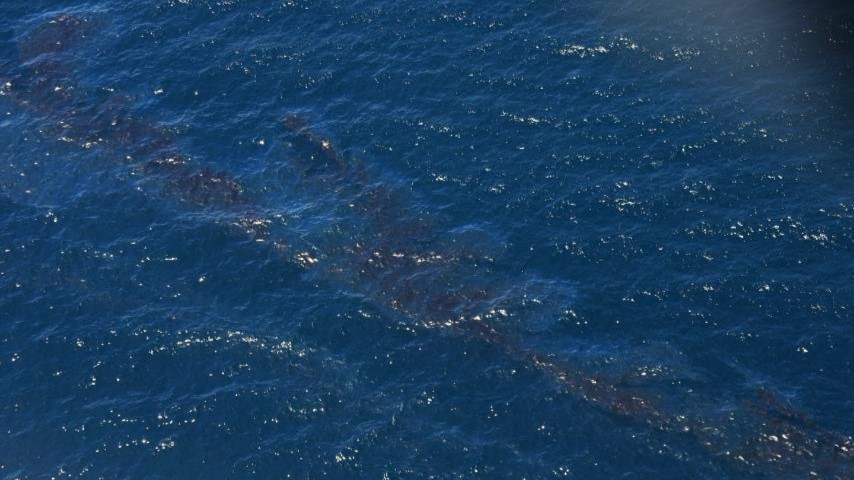
The tanker carrying 800,000 liters of industrial oil capsized off the coast of Naujan, Oriental Mindoro on Feb. 28.
On March 4, research vessel BRP Hydrographer Ventura from the National Mapping and Resource Information Authority was deployed to determine the location of the submerged vessel.
Latest bulletin from the University of the Philippines Diliman College of Science Marine Science Institute on Saturday, March 4, said oil spill in Oriental Mindoro may potentially affect over 36,000 hectares of coral reefs, mangroves, and seagrass. – gb
Read more: Oriental Mindoro oil spill threatens over 20-K hectares of coral reef