
By Brian Campued
The low pressure area (LPA) east of Northern Luzon has developed into Tropical Depression Igme on Friday afternoon, the Philippine Atmospheric, Geophysical, and Astronomical Services Administration (PAGASA) said.
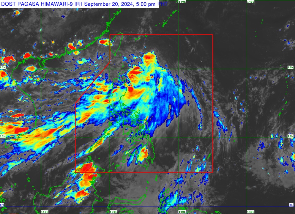
In its tropical cyclone bulletin issued at 5:00 p.m., PAGASA said Igme was located 530 kilometers (km) east-northeast of Itbayat, Batanes, moving northwestward at 15 kilometers per hour (kph).
The tropical depression packs maximum sustained winds of 55 kph near its center and gustiness of up to 70 kph.
Because of this, Tropical Cyclone Wind Signal (TCWS) No. 1 has been raised over the province of Batanes.
PAGASA said Igme will bring moderate to heavy rains in Batanes on Saturday, Sept. 21.
“Samantala bukas naman po ng hapon (Sept. 21) hanggang sa Linggo po ng hapon (Sept. 22), ay inaasahan na malakas hanggang sa mga matitinding mga pag-ulan ang inaasahan sa Batanes at katamtaman hanggang sa kung minsan ay malakas na pag-ulan naman po sa Cagayan, kasama na ang Babuyan Islands,” PAGASA senior weather specialist Glaiza Escollar said during a press briefing.
In its track forecast, PAGASA said Igme is forecast to move generally west-northwestward before exiting the Philippine Area of Responsibility (PAR) on Sunday, Sept. 22.
“Igme is forecast to remain as a tropical depression and may gradually weaken into a low pressure area by Monday early morning,” the state weather bureau said.
Meanwhile, the southwest monsoon or habagat will continue to bring significant rainfall over Ilocos Region, Zambales, and Bataan and cloudy skies with light to moderate, to at times heavy rains (during thunderstorms) over the rest of Luzon and Visayas on Sept. 21-22. — iro