
By Alec Go
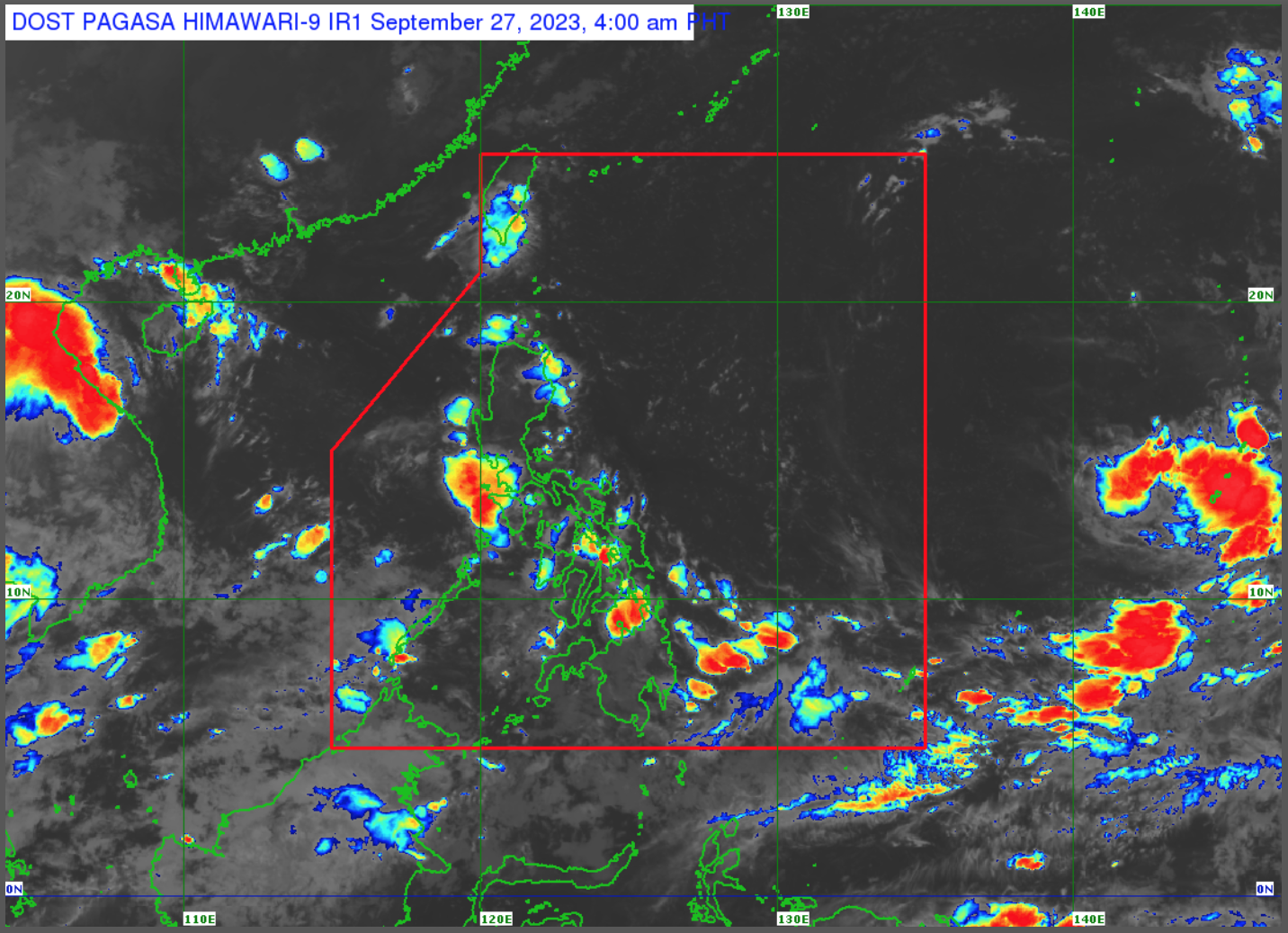
The state weather bureau said the trough of the low pressure area spotted 1,425 kilometers (km) east of extreme Northern Luzon and the southwest monsoon (habagat) will bring cloudy skies and rains over portions of Visayas and Mindanao on Wednesday, Sept. 27.
The LPA’s trough will bring cloudy skies with scattered rain showers and thunderstorms over Mindanao, Central Visayas, and Eastern Visayas, according to PAGASA’s 4:00 a.m. bulletin.
These may result in flash floods or landslides due to moderate to heavy rains.
PAGASA weather specialist Obet Badrina said the LPA may enter the Philippine area of responsibility on Wednesday with a slim chance of developing into a tropical depression.
The trough of LPA and localized thunderstorms will bring partly cloudy to cloudy skies with isolated rain showers or thunderstorms over Metro Manila and the rest of the country, causing flash floods or landslides.
“Sa Kamaynilaan at sa nalalabing bahagi ng Luzon at kasama ang Western Visayas, inaasahan ang posibilidad ng generally fair weather,” he said.
“Pero posible pa rin ang mga pag-ulan, isolated rain showers and thunderstorms kadalasan sa hapon hanggang sa gabi. Minsan puwedeng magkaroon ng mga malalakas na pag-ulan bagama’t hindi naman ito magtatagal,” he continued.
Meanwhile, Palawan and Occidental Mindoro will experience cloudy skies with scattered rain showers and thunderstorms due to habagat.
Flash floods or landslides due to moderate to at times heavy rains are also possible.