
By Alec Go
Tropical Depression “Chedeng” has slightly intensified but is unlikely to directly bring heavy rainfall in the country in the next three to five days, the weather bureau said in its bulletin on Tuesday afternoon, June 6.
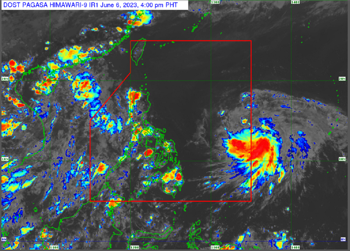
As of 4:00 p.m., the tropical depression was seen almost stationary 1,150 kilometers (km) east of southeastern Luzon, with maximum sustained winds of 55 km per hour (km/h) and gustiness of up to 70 km/h.
No tropical cyclone wind signals are hoisted by the Philippine Atmospheric, Geophysical and Astronomical Services Administration (PAGASA) as of posting.
“Chedeng” is also unlikely to cause rough sea conditions in the country in the next two hours and is forecast to “remain far from the Philippine landmass.”
However, it may intensify in the next four days, with likelihood of being raised to tropical storm category in the next 12 hours and to typhoon category by Thursday.
PAGASA said “Chedeng” may reach peak intensity on Friday or during the weekend as it moves over the Philippine Sea east of Northern Luzon.
The tropical depression may also intensify the southwest monsoon or “habagat.” – GB