
By Dean Aubrey Caratiquet
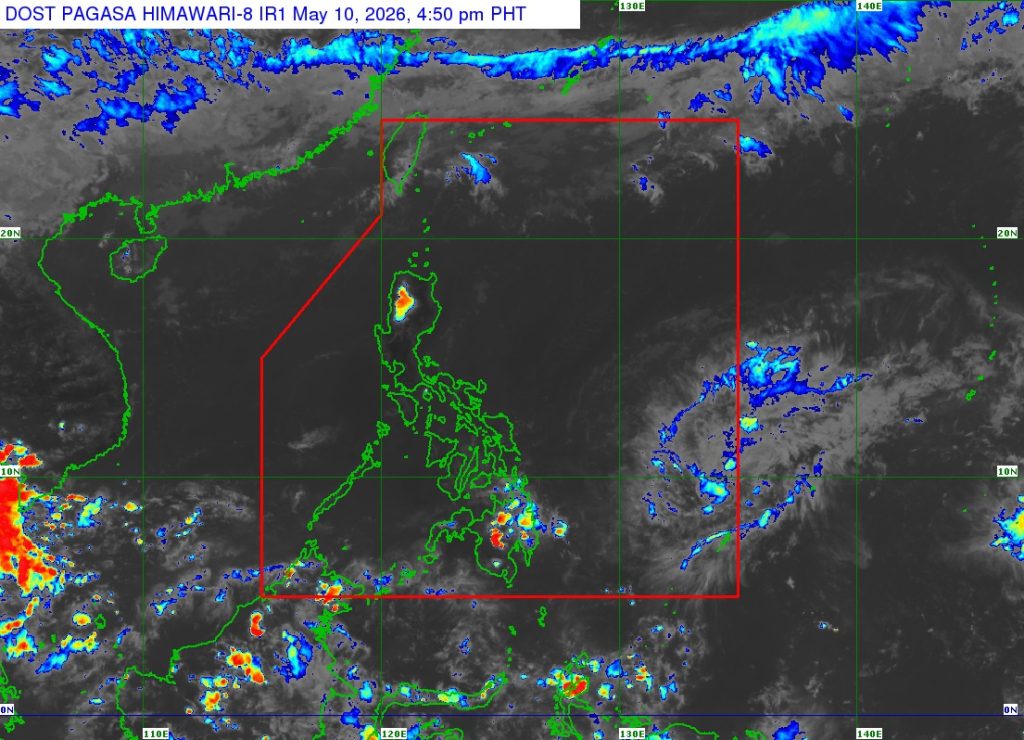
Tropical Depression Caloy continues to weaken as it continues to move over the waters east of northeastern Mindanao, according to PAGASA’s 5:00 p.m. bulletin.
Caloy was last located 680 km east of Surigao City, Surigao del Norte, packing maximum sustained winds of 45 kph and gustiness of up to 55 kph as it moves westward at 15 kph.
While it is expected to not have any direct effect on Philippine weather, the trough of Caloy may bring light to moderate rains over Eastern Visayas and parts of Caraga region on Monday.
While the state weather bureau has not issued any gale warning advisory, the agency warned of moderate seas over the following coastal waters:
- Up to 2.5 m: The eastern seaboards of Northern Samar and Eastern Samar.
- Up to 2.0 m: The seaboards of Batanes, Cagayan, Isabela, Ilocos Norte, northern Ilocos Sur, Aurora, Camarines Norte, and Surigao del Sur; the western seaboard of Pangasinan; the northern seaboards of Camarines Sur and Northern Samar; the northern and eastern seaboards of Quezon, including Polillo Islands and Catanduanes; the eastern seaboards of Albay, Sorsogon, Eastern Samar, Dinagat Islands, Siargao-Bucas Grande Islands, and Davao Oriental.
Caloy is expected to continue moving west-northwestward in the next 12 hours over the Philippine Sea—far from the Philippine landmass—and is expected to further weaken on Monday.
Moreover, easterlies or hot, humid air from the Pacific Ocean, will continue to prevail over most of the country on Monday, bringing partly cloudy to cloudy skies with isolated light rains.
Meanwhile, PAGASA continues to monitor another low pressure area outside the Philippine area of responsibility, which was last located 2,265 km east of Northeastern Mindanao in the agency’s 3:00 p.m. update. It remains unlikely to develop into a weather system over the next few days.
av