
By Dean Aubrey Caratiquet
After detecting the presence of two low pressure areas (LPAs) on Sunday, one of those mustered strength over the past few days and has now become a tropical cyclone.
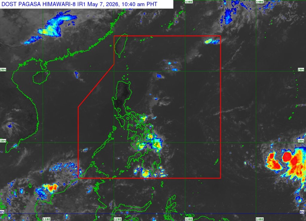
Tropical Storm Hagupit was last located 1,895 km east of northeastern Mindanao, packing maximum sustained winds of 65 kph near the center and gustiness of up to 80 kph, as it moves westward at 20 kph.
While Hagupit remains far from the Philippine landmass, it is expected to maintain a west-northwestward track throughout the forecast period.
The weather system may enter the Philippine area of responsibility (PAR) between Saturday evening (May 9) and Sunday morning (May 10), and will be given the local name “Caloy.”
Hagupit is expected to further intensify in the next 48 hours as it hovers over the Pacific Ocean, but is unlikely to directly affect weather and sea conditions across the country in the next 3 days.
Meanwhile, the easterlies or warm, moist winds coming from the Pacific will continue to fuel the sweltering heat being experienced by Filipinos nationwide.
jpv